
As usual, it’s been a while. But then again, we’ve been a bit busy with lots of sailing. From the last post (Kiribati) we made our way up to Majuro, in the Marshall Islands. After a 2-week wait for a permit to visit outer islands, we finagled one and visited Ailingilalap for Christmas. The next day we headed to Kwajelein Atoll to clear out, then to Guam, and then on to Japan! At the request of one of our wonderful readers, here is a fine map sourced from the internet with red stars for our general stops in this blog post (e.g., one star for Marshalls, although we visited 3 atolls.

But back to the beginning (about 6 weeks and 3,300 nautical miles ago). There we were, Sophie was sick with some stomach bug and we were finishing the sail from Tarawa (last blog post) to Majuro (sad place where sailors crop up). We had 2 great days of beam reaching (wind from the side) with a final night of upwind misery and squalls. Coming into the port we saw a sail on the horizon. It turned out to be a very cool sailing cargo ship – the Juren Ae. The vessel is worth a bit of online perusing. We sailed side by side up the beautiful lagoon to anchor off of Majuro.

We cleared in the same afternoon and quickly made our way to the grocery store – it felt like being back home with a full selection of US groceries. There was even some fresh(ish) produce. We hadn’t seen anything other than oranges and a few desperate cabbages since leaving Tonga about 6 weeks before. It was back to the boat though, since we were smack in the middle of the inter tropical convergence zone (doldrums) – which means lots and lots of rain and squalls.

We will save you the challenges of trying to acquire an outer islands permit in the Marshall Islands, but after almost 2 weeks of daily visits to the permit office, we lucked into meeting the mayor of an Ailingilalap. He invited us for Christmas and, before he could slip through our fingers, we got him to sign a permit, the office folks stamped it, and we were free to escape the Majuruo Vortex! It seems like a place where cruisers get exceedingly stuck. We did enjoy some mooring buoys on an outer motu, wonderful snorkling and wing foiling, and we managed to escape without any dog bites (not all cruisers were so lucky). We also had a long visit to the “Canoes of the Marshall Islands” program – which uses canoe culture, construction and navigation to teach life skills to teenagers. It was an inspiring visit – more info can be found here: https://www.canoesmarshallislands.com/ Since we seemingly took no photos in Majuro, here is the one we submitted to the customs officers.

We also began our annual Christmas fattening routine, which begins on December 11th the first winter seasonal holiday – my birthday. This was the first of two enormous chocolate cakes that Sophie made. We luckily had friends getting together on another boat and were able to share the delicitude.

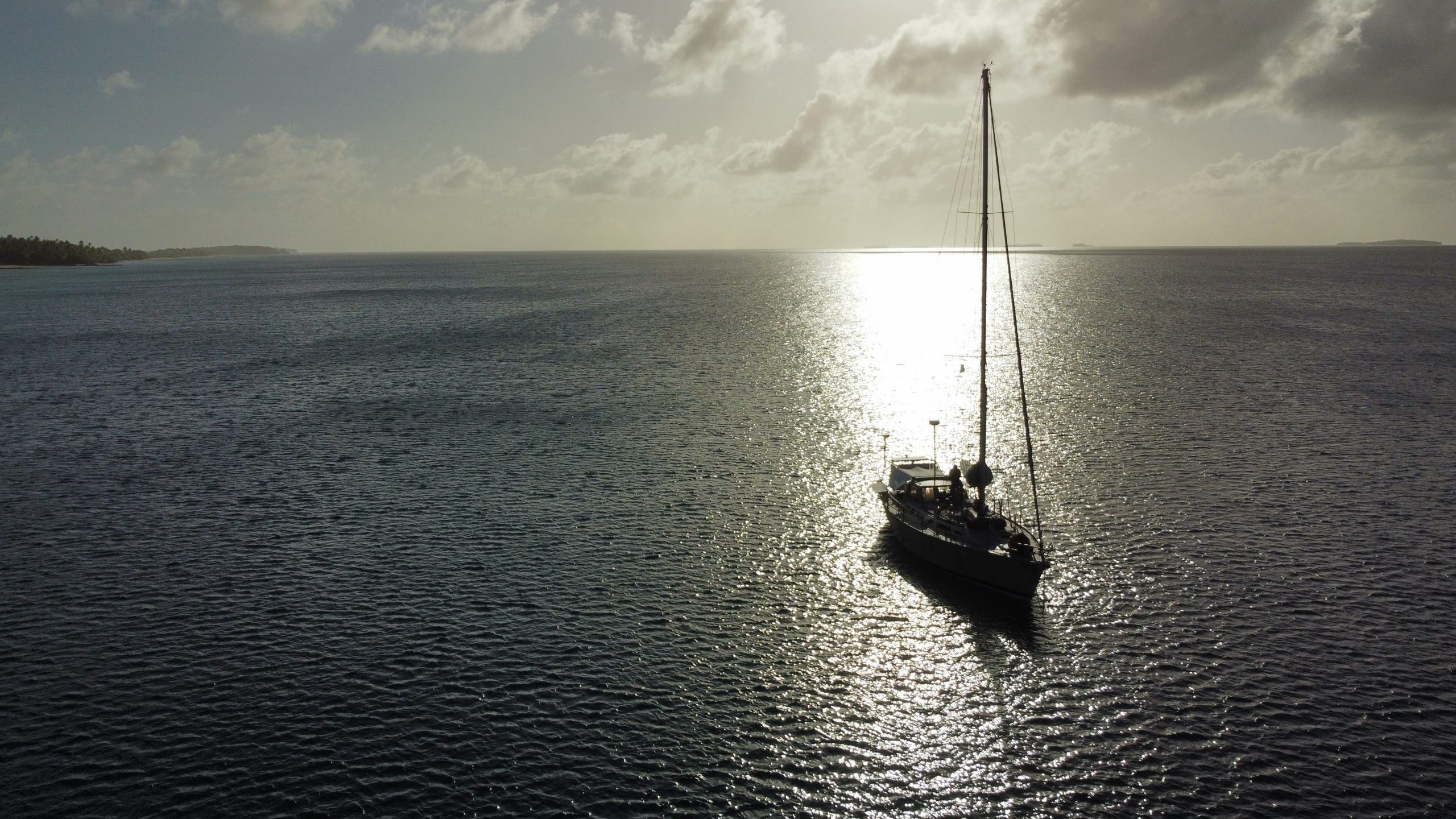
A quick and pleasant overnight sail took us to Ailingilaplap. Single overnight passages are challenging for both of us, since it doesn’t allow us to get into the sleep schedule of our standard 6hrs on / off watch system. Regardless, we entered through a small pass and made our way to the windward side of the atoll. Unlike the atolls of the Tuamotus, which are generally a lot of land with a little reef, the Marshalls seem to be a lot of reef, some large gaps, and very little land. They also can measure 20 or 30 miles by similar widths, making for limited safe anchoring. Luckily we could tuck up near an old airfield in flat water.

We knew that we wanted to celebrate Christmas at anchor, and this seemed like an ideal spot. The mayor had invited us to the atoll Christmas celebration, but unfortunately the wind direction made the anchorage where the celebration was taking place untenable. Here is the map that he provided us with. The Marshalls are known for their incredible navigators, and it was interesting to watch an older Micronesian draw a map, and describe directions, with no reference to north! It was made more challenging by the many different spellings of almost all place names.

So there we were, for about a week. A sinus infection limited my swimming, but Sophie was out for daily swims and we enjoyed meeting the few locals who had skipped out on the big Christmas party.

Our Christmas tree was a bit unusual, but worked well. With only one tree decoration, we decided to fold fleets of tiny origami sail boats – including Kuaka (silver) and Kuaklet (blue) for both the tree and for our (second) large chocolate cake.

It looks like our stuffed bear approves. I certainly did, however we weren’t quite able to finish it before it had to go overboard.
While still uncomfortably hot, we were able to go for short walks on shore, dinghy (Kuaklet) rows, and exercise most days.

And then, it was time to continue onwards. A fast and uncomfortable reach took us to Kwajelein, which is both the name of a large atoll and the name of the motu on which the US has an Army base. Ironically, it is one of the GPS ground stations and our GPS and AIS system stopped working within hours of arriving. We arrived late morning, completed our clearance paperwork that afternoon, and left with a good weather window the next day. Since Kwajelein is on the edge of the ITCZ, we were watching a number of different weather attributes (wind, but also relative humidity, rainfall, CAPE, and columnar water vapor), to determine a good time to get a move on. It looked good – and we didn’t want to end up like this boat on the pier in Ebeye (the non-military town in Kwajelein). It looks like they waited a bit too long for the right weather. It also happens to be a sister-ship to SV Swallow, one of the two boats that I grew up on.

And so, we were off for Guam. We had considered a stop in the Federated States of Micronesia and even got the necessary permit to visit, but decided that we would rather have a longer and more pleasant passage further north (outside of the ITCZ). And that’s what it ended up being – an exceptionally pleasant and fast passage! It was the beginning of seeing ships, with two ships on direct collision courses with us (both altered course).

After just 9 days of broad reaching and running, with our best daily run over 180 nautical miles, the sun rose over the hills of Guam. This was the first real topography since Wallis Islands, and also a bit cooler.

A fast morning of sailing brought us to the harbor entrance, which was followed by an easy and efficient clearance process. Guam is part of the US, so we didn’t even get our passports stamped. The customs officers gave us some restaurant recommendations and sent us on our way. We moved over to a mooring buoy off of the Marianas Yacht Club. The reefs around us were littered with sunk boats – a bit intimidating.

Despite the rough neighborhood (sunk boats), the Yacht Club had a beautiful club house on a low spit. It is well protected and offers solid mooring buoys to cruisers.

We had a stack of packages waiting and a short list of boat projects to complete before moving on. This was balanced against wanting to explore the island and also remaining cognizant that Guam is in “typhoon alley.” While January has relatively low risk and is considered outside of typhoon season, typhoons can occur anytime and some of the worst to hit Guam arrived in December – February. We quickly replaced our alternator and installed some spares, and then went for some nice hikes:

We also visited a very odd and wonderful 3-story coffee shop, which includes a gallery of coffee grinders (the entire 3rd floor). We ate some good food, drove around in a rental car, and generally felt like we were back in a warmer and slightly altered version of the continental US.

And then, like magic, the weather looked pretty decent for our next ocean passage. We knew that the passage from Guam to Okinawa had the greatest uncertainty in terms of weather of any recent sailing. Strong NW outflow winds occur about every week coming out of China and Korea and occurring as far east and south as the Mariana Islands (just north of Guam). It is also a long enough passage (about 1300 nautical miles, or 7-9 days for us) that a weather forecast is at best a well informed guess for the last 2-4 days of the passage. It turned out that forecasts weren’t even good guesses 1-2 days out, but luck made up for weather model inaccuracy. We had a final exercise with our new yoga matts on the lawn at the Yacht Club and were on our way.

Despite the weather models largely missing the mark on forecasts and counter-currents for the entire passage (up to 3 knots at times), we actually had a pleasant and incredibly lucky, albeit slow, passage. We sailed fairly fast, but went an extra 220ish nautical miles through the water due to current.

With two days left to Japan the sailing turned wonderful. The current decreased to less than a knot, the wind spun around behind us, and the seas flattened out. With the exception of nearly running over a huge fishing net, we listened to Harry Potter and Ursula LeGuin audio books, ate the last of our veggies, and drank the dregs of our whiskey, a going away present from my brother-in-law. Japan limits what you can bring in, so we pretty much had to eat veggies and finish the whiskey.

Once again, after 9 days of sailing we saw land in the morning. There seems to be a theme here, Bora Bora – Tonga, Wallis – Tarawa, Majuro – Guam, and Guam – Okinawa, all 9 day passages with land at first light, but with relatively different mileages. It was time to raise the quarantine flag again. If you look closely you can make out the skyline of Okinawa.

Although this time my outfit was a bit different – it was cold!

And that catches us up to the present time. We are now in Okinawa – slowly starting to work our way north over the next 5 months. As my father regularly reminds me, there is a classic song written about our trip:
And that’s all for now from the Kuakites.